

Advanced Climate & Geospatial Modelling
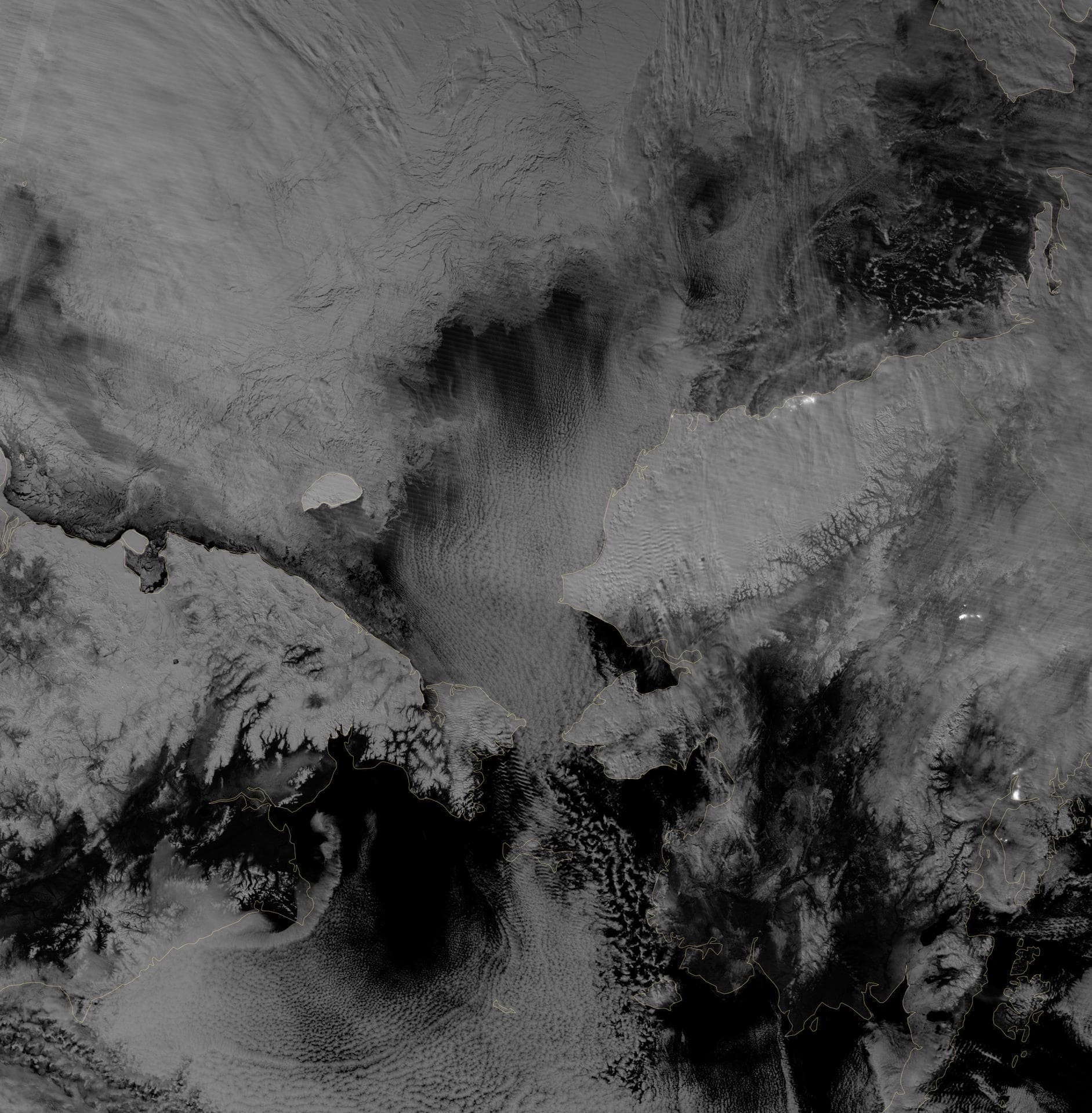
From data to decision, our technical and science team transforms complex Earth system data into actionable insights and policy outcomes. By integrating atmospheric chemistry, and large-scale climate drivers, our indigenous high-resolution models reveal how changes in one part of the world can influence climate outcomes elsewhere. Leveraging near real-time satellite observations, cloud-based geospatial platforms, and advanced analytics, enables granular assessments of climate risks, teleconnections, and environmental change across multiple spatial and temporal scales.